 Metro (1, 2, 3…)
The Paris Metro is the fastest and most frequent way to travel within the city.
- Metro lines are marked by numbers (e.g. 1, 4, 12), each with a different color.
- Stations are very close together.
- The metro runs daily from about 5:30 a.m. to 1:00 a.m. (until 2:00 a.m. on weekends).
🧱 Example: Line 1 crosses Paris from east to west, from La Défense to Château de Vincennes.
 RER and
  Suburban Trains (A, B, C…)
RER lines (Regional Express Network) and Transilien trains connect Paris with its surrounding suburbs (known as the Île-de-France region).
- These lines are labeled with letters (e.g. RER A, RER B, train L, train N).
- They work like a fast metro but go much farther — to airports, castles, theme parks, residential suburbs, etc.
- Within Paris, they stop at major stations like Gare du Nord, Châtelet, or Saint-Michel.
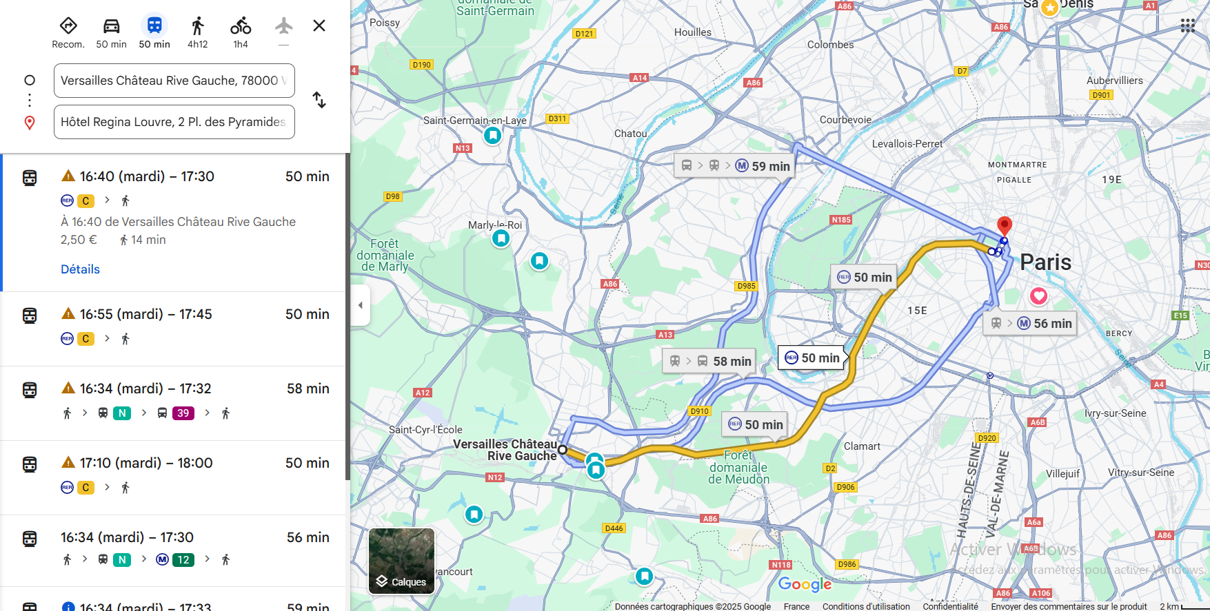
🧱 Example: To get to the Château de Versailles from Paris, take RER C or train L.
 Bus (42, 69…)
Paris buses are convenient for getting around above ground, exploring the city, or completing your trip.
- Each line has a number (e.g. bus 42, bus 69).
- Buses run during the day and at night (Noctilien lines), with less frequent service in the evening.
🧱 Example: Bus 69 passes many famous landmarks in Paris, such as the Louvre and the Eiffel Tower.
 Tram (T1, T2, T3a…)
Trams mostly serve the outer areas of Paris, where there may not be a metro.
- Each line is labeled T1, T2, etc.
- Trams run on the surface, often in residential zones or connecting towns around Paris.
🧱 Example: Tram T2 connects La Défense to Issy-les-Moulineaux, following the Seine river.
Summary of Symbols in Google Maps
| Type of Transport | How it Appears in Google Maps Route Results | Example |
|---|---|---|
| Metro |  | Metro 9 |
| RER / Train |   | RER C, train U |
| Bus |  | Bus 171 |
| Tram |  | Tram T3a |

